The tasks: Conception | List of satellites | Criteria of selection |

Mission analysis


Regions designation | Magnetosphere model | 
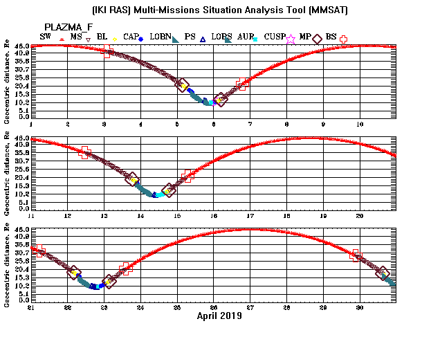
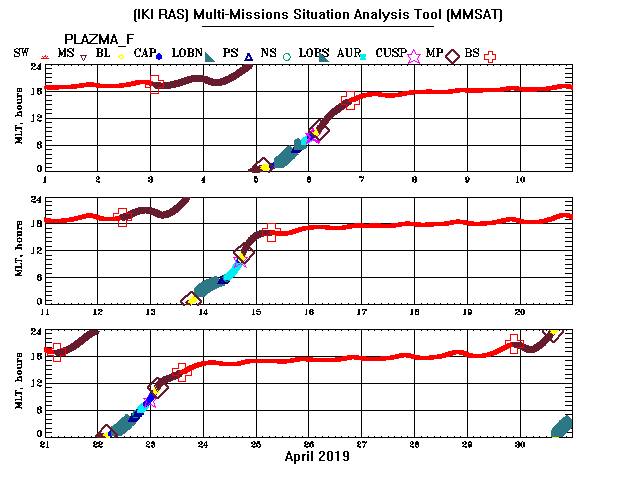
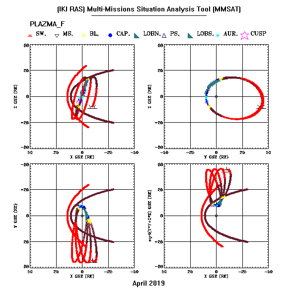
Magnetosphere regions || 
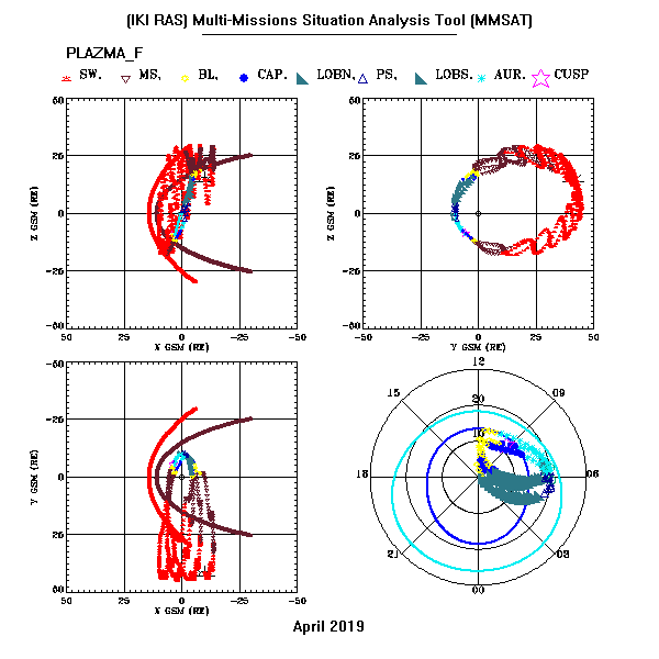
Polar diagram description
Comment: Satellite position corresponding to the first point of the considered time-interval is marked by the enlarged symbol of the black color in the rectangular (GSE and GSM) coordinate systems
Click icons to make large pictures.
Geophys. regions
SC geocentric distance
Moscow time of visibility (elevation >7 deg) for MEO (green line) and for USS (red line)
Geomagnetic local time
TXT files
Satellite positions. File description.
Used initial orbital data.
Visibility zones for Medvezhii ozera and Ussuriysk (in Moscow time).

Last modified Fri Jan 04 00:06:50 2019